-
Sounds From The Road
It’s not just what we see that captures us, but also what we hear. And as you can tell, we like to camp with the sounds of the outdoors: on people’s farms, mostly near water… and sometimes right by the railroad tracks. Hear for yourself.
-
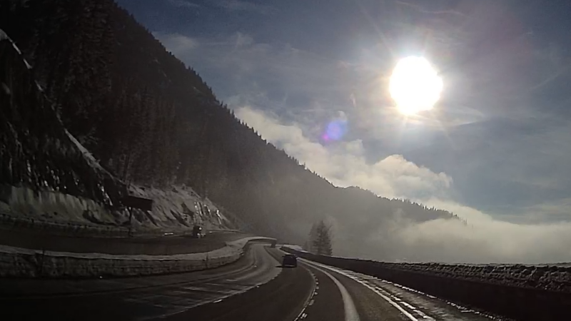
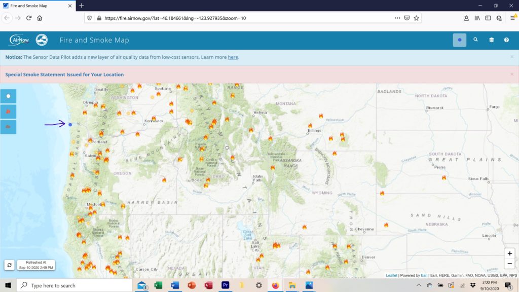
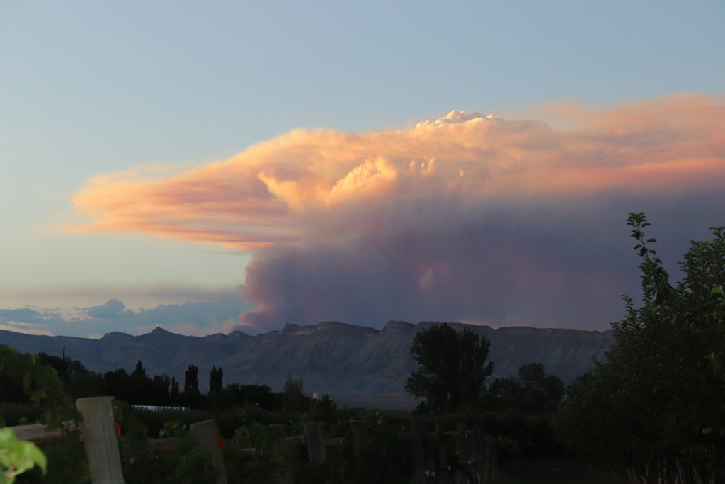
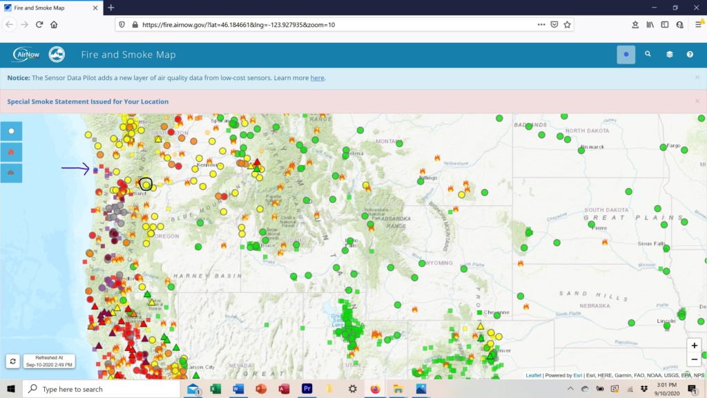
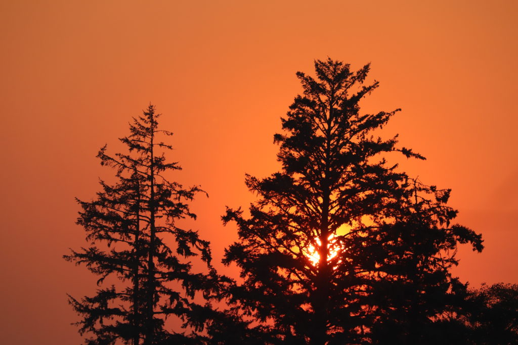
Wait Just a Darn Minute
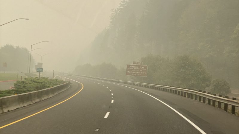
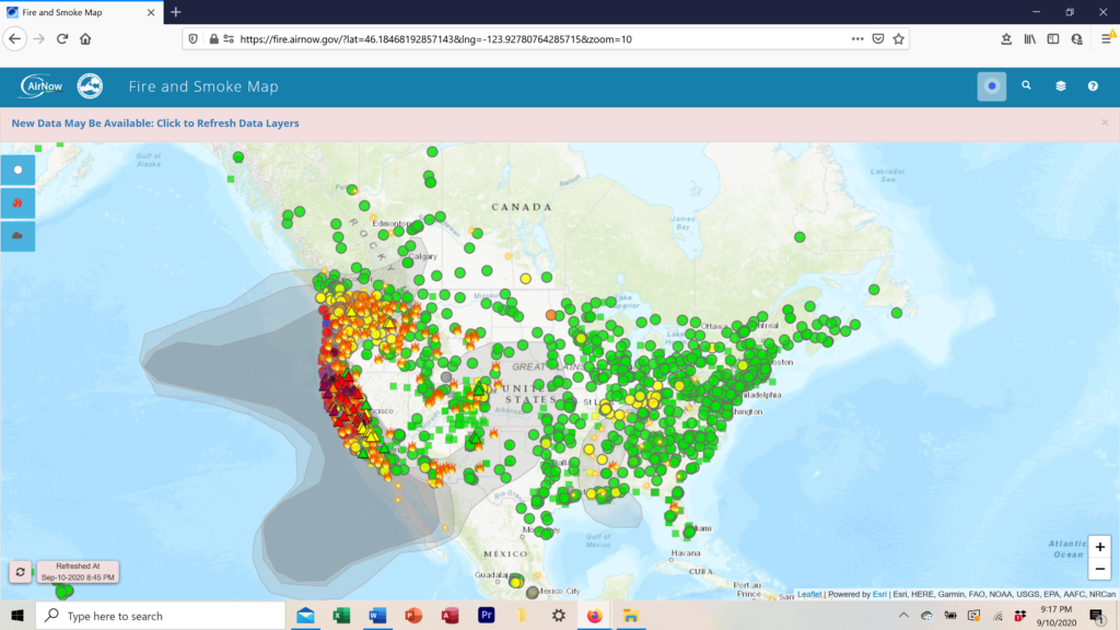
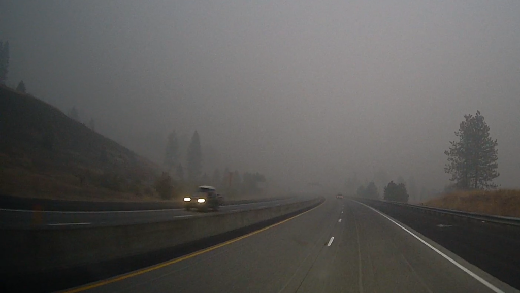
We started out simply being amazed at the fast changing weather along our scenic route home. Then we began to wonder, maybe Mark was right all along. Or was it Will?
-
A Place. A Destination. Something Else?
West is such a simple word. Four letters, one syllable. And yet, it has a hard-to-define energy that dwarfs its brief length.